Inspiration Point Vista at Emerald Bay
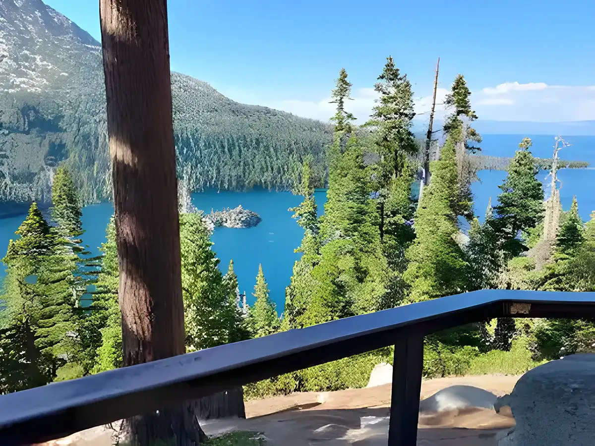
Nestled among towering pine and fir trees near beautiful Emerald Bay, Inspiration Point is a easily accessible, popular day-use area and vista point on…
Nestled among towering pine and fir trees near beautiful Emerald Bay, Inspiration Point is a easily accessible, popular day-use area and vista point on the southwest end of Lake Tahoe. Inspiration Point is located across the highway from Bayview Trailhead and Day-Use area.
Things To Know Before You Go
- Parking: There is a fee at the designated lot. As space is limited, consider arriving early in the morning or late in the afternoon.
- Restrooms: Restrooms are available in the designated parking lot (not available during winter)
- Trash: Trash can is accessible in the designated parking lot (not available during winter)
- No camping or overnighting permitted
- Campfires (wood, charcoal, or other solid fuels) are not permitted
- Lake Tahoe is Bear Country. Before leaving your vehicle, remove all scented items and lock the vehicle doors and windows. Learn more about coexisting with bears at TahoeBears.Org.
This area can be extremely crowded on weekends. Please consider visiting in the early morning or late afternoon for a more relaxing experience.
Big Meadow Trail
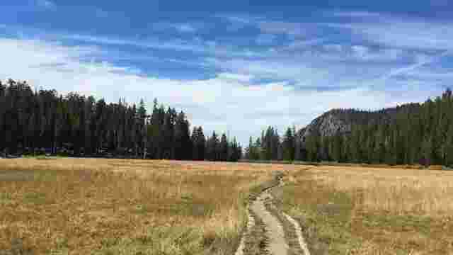
Big Meadow is located in Meiss Country on the south end of the Lake Tahoe Basin. Big Meadow Trailhead serves as an entrance to the Tahoe Rim Trail and…
Inspiration Point Vista at Emerald Bay
Nestled among towering pine and fir trees near beautiful Emerald Bay, Inspiration Point is a easily accessible, popular day-use area and vista point on…
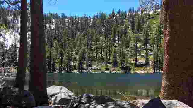
Granite Lake
Granite Lake is a little Tahoe jewel tucked away in the fold of the ridge leading up to Maggie’s Peaks. The trail is steep making this an…
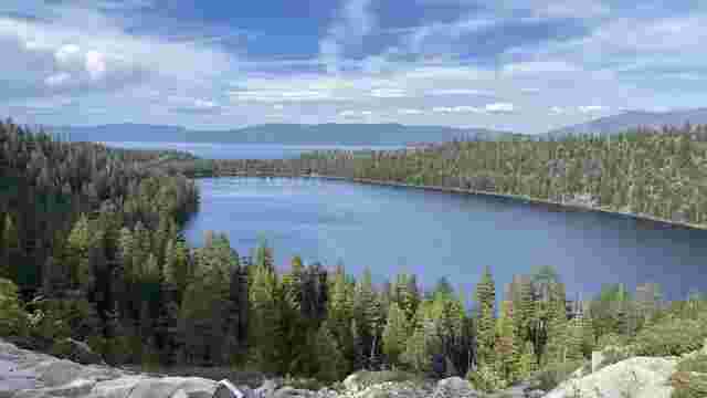
Azure Lake
Explore this 5.7-mile out-and-back trail near South Lake Tahoe, California. Generally considered a challenging route. This is a popular trail for hiking,…
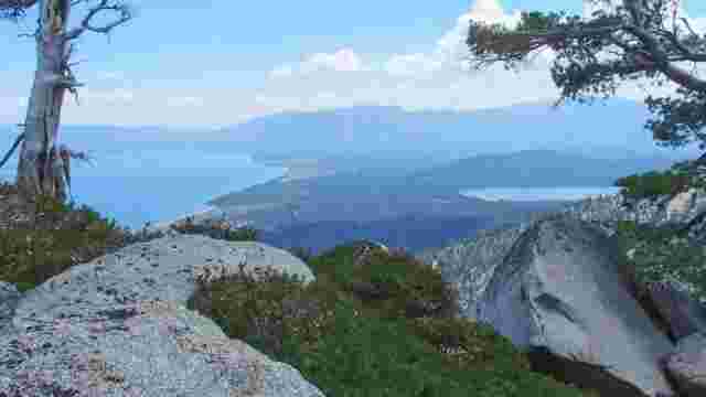
Maggie’s Peaks
Experience this 4.1-mile out-and-back trail near South Lake Tahoe, California. Generally considered a challenging route. This is a very popular area for…
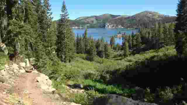
Marlette Lake
The Nevada Division of State Parks announced upcoming trail closures in the Spooner Lake State Park backcountry due to critical repairs on the Marlette…
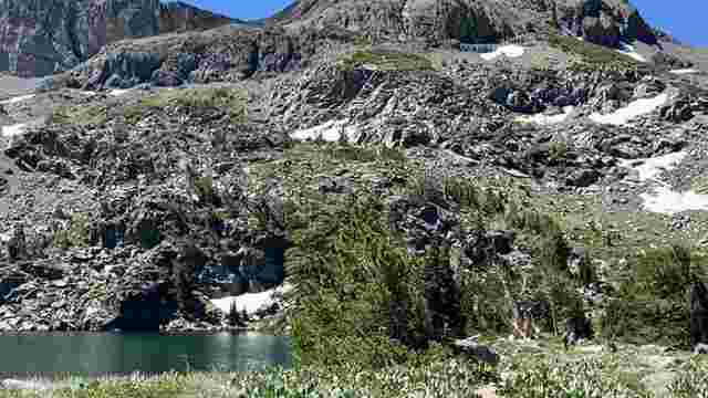
Lake Winnemucca Trail
Discover this 5.1-mile out-and-back trail near Kirkwood, California. Generally considered a moderately challenging route, it takes an average of 2 h 7 min…
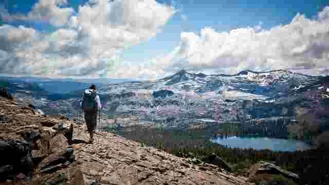
Desolation Wilderness
63,475-acre wilderness area with hundreds of glacial lakes, sub-Alpine forests, valleys and granite peaks. Visitors will find Desolation in its natural…
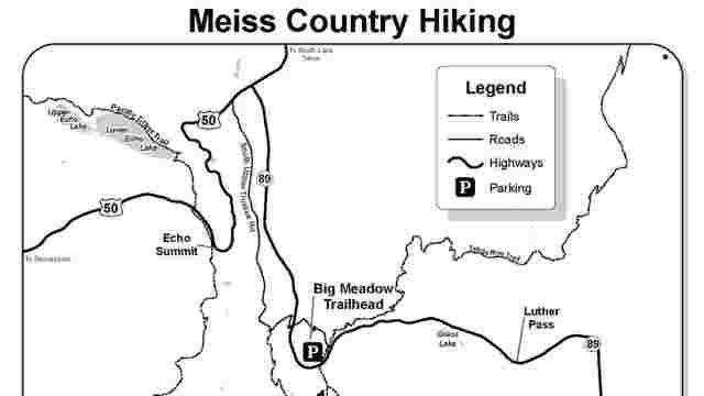
Hiking Meiss Country
Click here for information on several trails located in Meiss (pronounced “Mice”) Country, located between Luther Pass (Highway 89) and Carson…
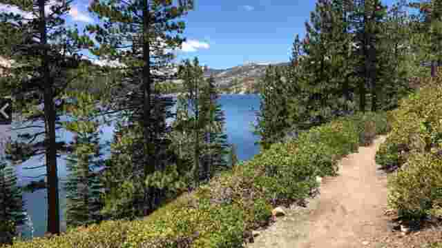
Lake Aloha Trail
Lake Aloha Trail is a 12.5 mile heavily trafficked loop trail located near Echo Lake, California that features beautiful wild flowers and is rated as…
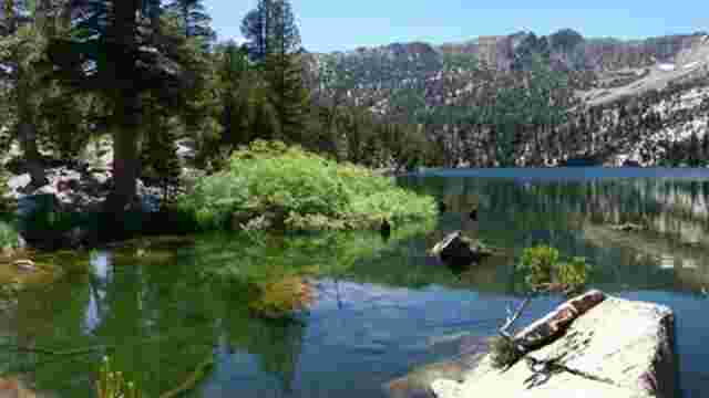
Star Lake Trail
Star Lake Trail is a hiking, biking, and horse trail in El Dorado County, California. It is within the Lake Tahoe Basin Management Unit. It is 4.1 miles…
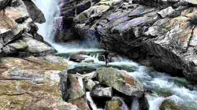
Horsetail Falls Trail
Horsetail Falls Trail Horsetail Falls Trail is a 4.2 mile heavily trafficked out and back trail located near Twin Bridges, California that features a…
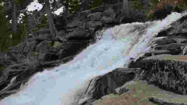
Cascade Falls Trail
Cascade is probably one of the best short hikes you can do in the Emerald Bay area. It is only 1.5 miles round trip from the Bayview Campground. Stepped…
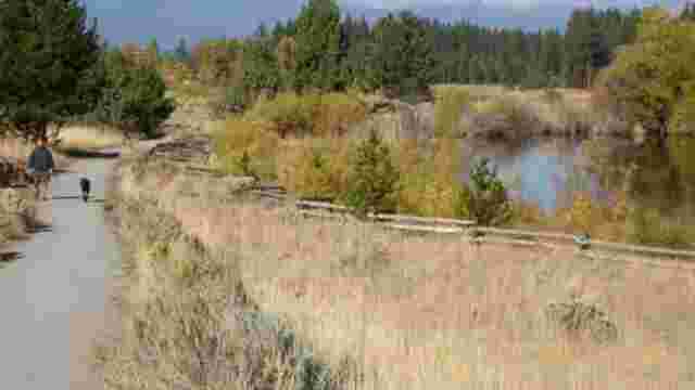
Lam Watah Nature Trail
Lam Watah Nature Trail is a 1.5 mile scenic walk through meadows and woods to Nevada Beach . Trailhead is near Stateline at Hwy 50 and Kahle Drive.
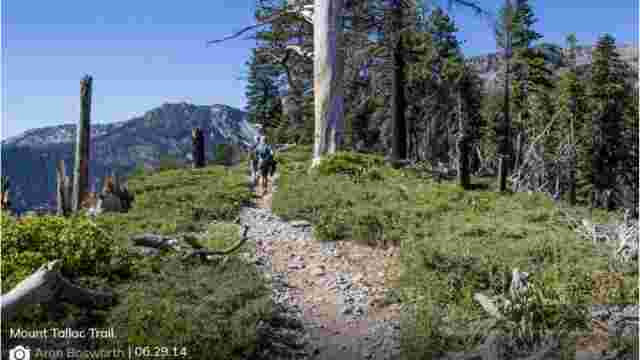
Mount Tallac Trail
Mt. Tallac Trailhead receives high use and is thus well marked. There are three main trails:1. Floating Island Lake – one-way mileage is 1.7 miles.…
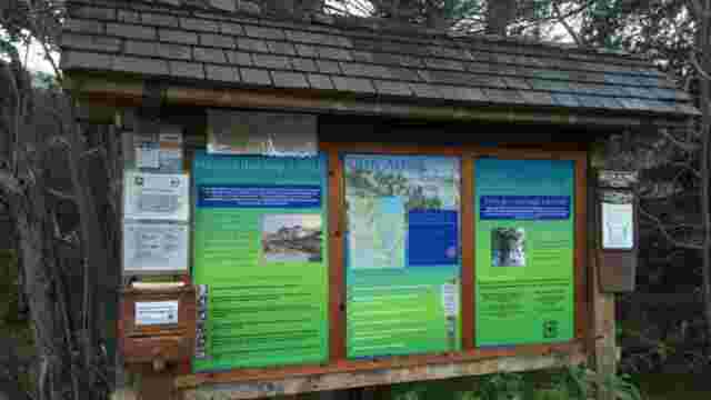
Glen Alpine Falls Trail
Many different hikes can be accessed from this trailhead. For a short walk, try the 2-mile hike to Grass Lake. Another longer, more strenuous hike to…
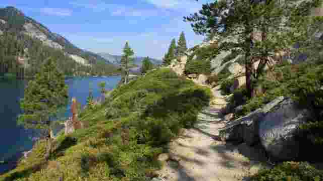
Echo Lakes Trail
The Echo Lakes hike follows the Pacific Crest Trail along the lakes’ northern edge. The moderate difficulty of the trail combined with the views it…
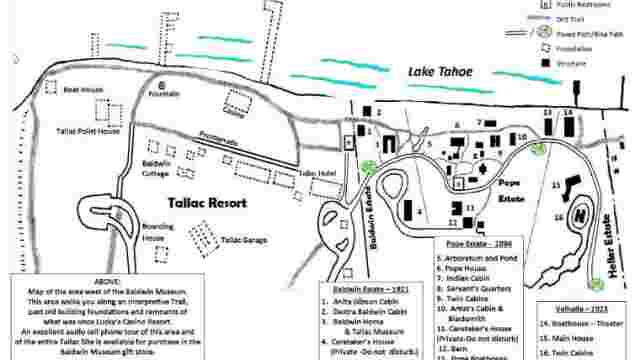
Taylor Creek Visitor Center and Stream Profile Chamber
Located on Hwy 89 three miles north of South Lake Tahoe offers numerous self-guided trails with award winning signs. An underground chamber features a…
Rubicon Trail
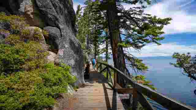
Hiking Lake Tahoe’s Shoreline Connecting rocky points and sandy coves along Lake Tahoe’s shoreline, Rubicon Trail is a moderate 16.4 mile heavily…
Angora Lakes Trail
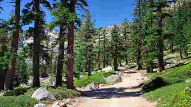
Hiking Angora Lakes Trail Angora Lakes is an easy 1/2 mile hike leads to two lakes framed by cliffs. Swimming and fishing are popular activities.…